
The first snowfall of 2024 will be quickly followed by a second, with snow in the forecast again this week.
According to the Hazardous Weather Outlook from the National Weather Service, another winter system with accumulating snowfall will affect portions of the region late Thursday, Jan. 11 into Friday, Jan. 12. The hazardous weather outlook is for northwest, north central and west central Missouri, as well as extreme eastern Kansas.
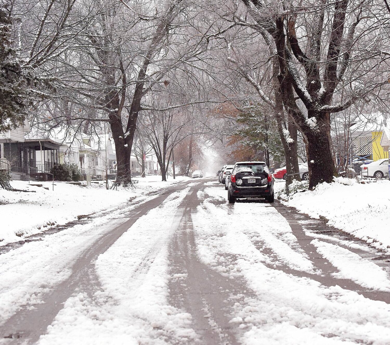
According to Thursday’s NWS weather briefing, some uncertainty still remains regarding exact snow amounts and locations. NWS states that northwest winds gusting to 35 to 45 mph on Friday could create areas of blowing and drifting snow. Minor ice accumulations Friday morning may cause some slick spots.
The snow will be accompanied by bitterly cold temperatures that are expected to continue into early next week. NWS states that near-record lows and near-record cold highs are possible.
The NWS also issued a Wind Advisory that is in effect from noon Friday to 6 a.m. Saturday for Mercer, Putnam, Schuyler, Grundy, Sullivan, Adair, Livingston, Linn, Macon, Carroll, Chariton, Randolph, Saline, Howard, Pettis and Cooper counties. Northwest winds of 20 to 30 mph with gusts up to 45 mph are expected.
Thursday night in Sedalia had a 70% chance of rain, followed by a 50% chance of rain and snow before 9 a.m. and a chance of snow between 9 a.m. and 3 p.m. There will also be patchy fog between 7 and 11 a.m. Friday. Total precipitation amounts are expected to be less than an inch. Temperatures will fall to around 17 degrees by 5 p.m. with wind chill values between -2 and 8. There will be breezy wind ranging from 10 to 15 mph, increasing to 23 to 28 mph in the afternoon. Wind could gust as high as 43 mph. Friday night, the low will be around 6, with wind chill values between -3 and -11.
Saturday, Jan. 13 will have a high near 11 and a low around -5, with wind chill values between -7 and -12. Winds will be 16 to 18 mph, with gusts as high as 28 mph. Sunday, Jan. 14 could see precipitation return, with a 40% chance of snow after noon and a 50% chance before midnight. The high will be near 4 and a low around -7.
The beginning of the week will only get colder. On Monday, Jan. 15, Martin Luther King Jr. Day, the high will be near 4 with a low around -7. Tuesday, Jan. 16 will see a high will be near 12 with a low around 4. Precipitation isn’t in the forecast for Monday through Thursday.
On Wednesday, Jan. 17, temperatures will see a significant increase, although still chilly, with a high near 30 and a low around 17. Thursday, Jan. 18 is expected to be about the same.
Unfortunately, the dangerously cold temps will quickly return late next week, according to the NWS extended outlook. The outlook states there is a 60-70% chance for below-normal temperatures with near-normal precipitation expected for mid- to late January.
The temperature forecast has prompted the Sedalia warming shelter to be activated for this weekend. To have warming shelter information added to this list, email news@sedaliademocrat.com.
The warming shelter at St. Patrick's Church, 415 E. Fourth St. in Sedalia, opened at 7 p.m. Thursday, Jan. 11 and will remain open until further notice.


