
Pettis County is under a Winter Weather Advisory until 6 p.m. Tuesday, Jan. 9, as issued by the National Weather Service, and another winter storm could possibly be just around the corner.
The advisory covers portions of east central Kansas and central and west central Missouri. Snow began Monday afternoon, Jan. 8, earlier than originally expected, and is forecast to continue through Tuesday. According to the NWS, snow accumulations of up to 4 inches are expected, with winds gusting as high as 45 mph.
According to Monday’s hazardous weather outlook for northwest, north central and west central Missouri and extreme eastern Kansas, another winter system will affect portions of the region late Thursday, Jan. 11 through Friday, Jan. 12. Bitterly cold temperatures move into the area this weekend and into next week.
Residents are advised against traveling if possible. For those who must drive, they can check road conditions at traveler.modot.org.
MoDOT’s traveler map showed U.S. Highway 50 was covered from far west Johnson County to just outside of Jefferson City around 3 p.m. Monday. Interstate 70 was covered from Concordia to just east of Columbia. Many other smaller highways in west central Missouri were also covered.
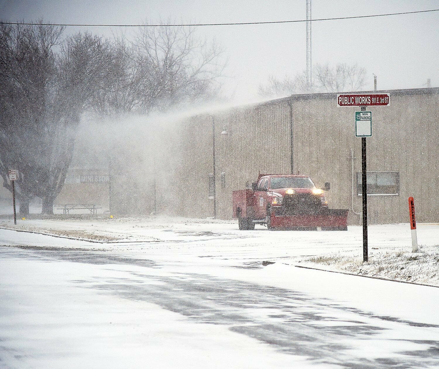
Due to the NWS issuing a Winter Weather Advisory predicting 2 to 5 inches of snow for the Sedalia area, the city activated the emergency snow routes at noon Monday through at least noon Wednesday, Jan. 10. When more than 2 inches of snow, sleet or ice is expected within a 24-hour period, the city declares a snow emergency and the emergency snow routes are put into effect.
Parking is prohibited along emergency snow routes once the snow emergency occurs. According to a city news release, plowing has been impeded by cars continuing to be parked along emergency snow routes during recent snow events. Failure to remove cars during a snow emergency can result in the cars being towed at the owner's expense. The Street Department crews work to keep these designated streets as clear as possible to allow for emergency vehicle use.
Information about the City of Sedalia’s emergency snow routes can be found at sedalia.com/connect/stay-informed/snow-routes.
According to the NWS, in Sedalia, a rain and snow mix was expected to continue until 2 a.m. Tuesday.
On Tuesday, rain and snow is expected to turn into all snow after noon, with patchy blowing snow from 1 to 7 p.m. Winds will be breezy in the morning, increasing to 21 to 26 mph in the afternoon with wind gusts as high as 43 mph. Chance of precipitation is 90%. Temperatures will see a high near 35 and a low around 19.
The NWS states that blowing snow on Tuesday could reduce visibilities to a half-mile at times in some locations. Blowing snow should end between 3 and 6 p.m. for Johnson and Pettis counties.
Things should clear up Wednesday, Jan. 10 with a sunny forecast. Slight winds will continue, with speeds around 8 to 18 mph and wind gusts as high as 26 mph. The high will be near 42 with a low around 24.
Thursday will start partly sunny, but the day will end with a 60% chance of rain and snow after 7 p.m. The high will be near 40 with a low around 22.
Snow is likely again Friday, with a 70% chance of snow after 7 a.m. and a 60% chance in the evening, mostly before 7 p.m. Temperatures will drop dramatically, with a high near 31 and a low around 8.
The weekend will mostly mark the end of precipitation in the forecast, although there is a 30% chance of snow Sunday night, Jan. 14. Saturday, Jan. 13 and Sunday are both expected to be partly sunny, although it will be bitterly cold, with highs in the mid-teens and a low around 1.
An extended weather look from the NWS shows a 70-80% chance of below-normal temperatures the week of Jan. 13-19. High temperatures will be in the single digits and teens Saturday through at least Monday, Jan. 15, with low temperatures in the single digits to teens below zero. On Saturday evening, wind chill values could reach -5 to -15.


